Imagen Consulting is a specialist consulting service with a particular emphasis on agricultural development, water resources, irrigation, environmental and earth sciences. We provide expertise in Agricultural Engineering, Remote Sensing and GIS, including airborne laser scanning (ALS-LiDAR), current high-resolution satellite imagery, GPS and digital data capture, and spatial data systems development. At Imagen Consulting we strive to provide our clients with customised spatial data solutions that enable clear and rapid understanding of their projects. Furthermore our extensive engineering backgrounds brings a high level of dynamic understanding to the clients’ needs. We provide an independent, qualified and expert analysis to meet your needs.
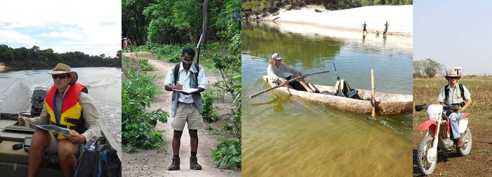
Imagen Consulting has been operating in the southern African and broader continental African area since 2002. Our strengths are applying a strong practical engineering background to a variety of scenarios where spatial data and resource evaluation are necessary for successful analysis, sustainability and problem solving – often in challenging environments.
Imagen consults to:
Agricultural Development Agencies/Corporations
World Bank
Local, National and Regional Governments
Natural Resources and Infrastructure Organisations
Exploration, Mining and Extractive Industries
Forestry Operations
Planners and Developers
Engineering and Utility Sectors

Copyright © 2016 www.imagenconsulting.net. All rights reserved. Website by Imagen Consulting.